Online Store Now Available!
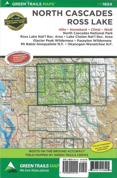
16SX North Cascades National Park
SKU 9781680515114
$18.00
Buy and save
Buy and earn $0.90 Loyalty for your next purchase
Loyalty is a discount program that lets you buy products and earn points to redeem on your next purchase. Your Loyalty balance is updated when you pay online or in-store. The Loyalty amount shown on this page can be recalculated at the checkout.
In stock: 1 available
Save this product for later
16SX North Cascades National Park
Product Details
Brand: Mountaineer Books
The possibilities for superb day hikes and epic multi-day backpacking trips are countless with this expansive map covering the North Cascades Highway, North Cascades National Park, and Ross Lake National Recreation Area. Map 16SX also includes Harts Pass, the highest road in Washington—and its amazing high country and historic old mining trails. The Pacific Crest Trail from High Bridge to the Canadian border and the Pacific Northwest Trail from the Pasayten River to Baker Lake are also prominently displayed on this map. Find trails in the breathtaking Cascade River Valley, isolated upper Stehekin River valley, and the upper Twisp River Valley with its myriad trails heading into the Lake Chelan-Sawtooth Wilderness.
Powered by Lightspeed
Display prices in:USD

